Assessment of PG&E High Fire Risk Area Map
/
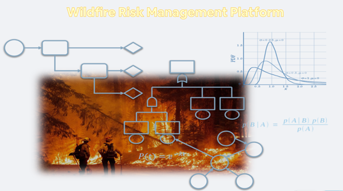
We conduct analyses of spatial data including electric wire distribution, historic fire cases, flammability, and declivity of vegetative cover, as well as satellite images with GIS to review over 800 polygons throughout northern California and estimated whether the polygons should be added into or removed from the risk area.
Read More